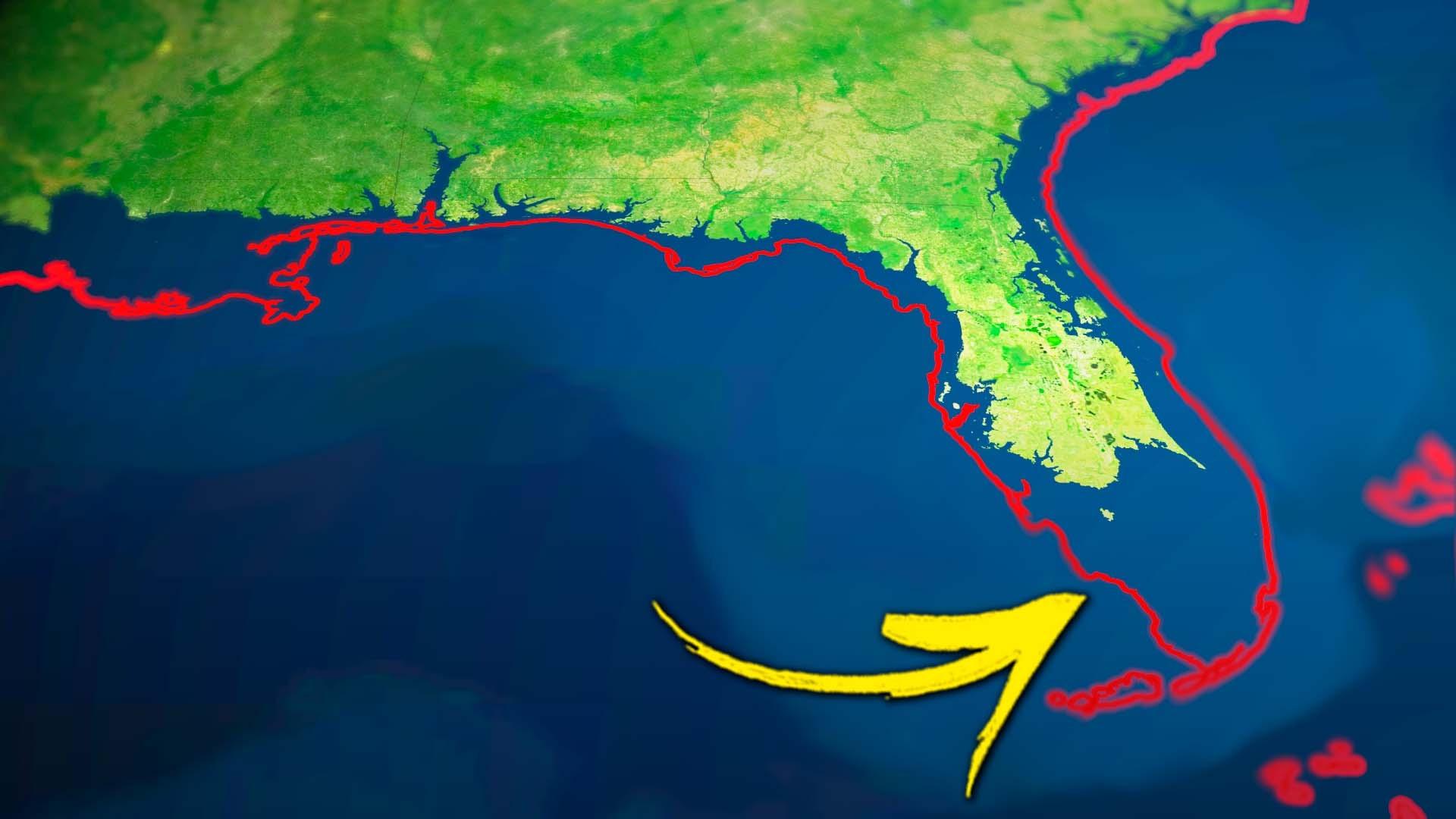
In this episode, we take a peek at brand-new flood imagery created by Climate Central’s FloodVision team - imagery that shows just what our coastal communities will look like in 2050, 2100 and beyond. And we’ll uncover detailed maps showing just what our coastlines will look like as the seas rise. So stay tuned to see if your home is on these maps, and what we can do to lessen the impacts in the f
Paste this code where you want the video to appear.
TV Schedule Filters
Location Help
KET provides PBS national programming for all viewers in our broadcast areas. We use your web browser
to confirm your location.
If you're a KET donor, you may watch this content from anywhere in the United States.
We provide online video of PBS national programming for KET viewers. Please allow KET to access your web browser's location to watch this video.
Explore KET
Ad Blocker Detected
It appears your browser is using an ad blocker. In addition to blocking ads, this software affects our ability to properly detect your location, which we must do before allowing access to video content. Please add KET.org to your safe list or disable your ad blocker for the best experience.